
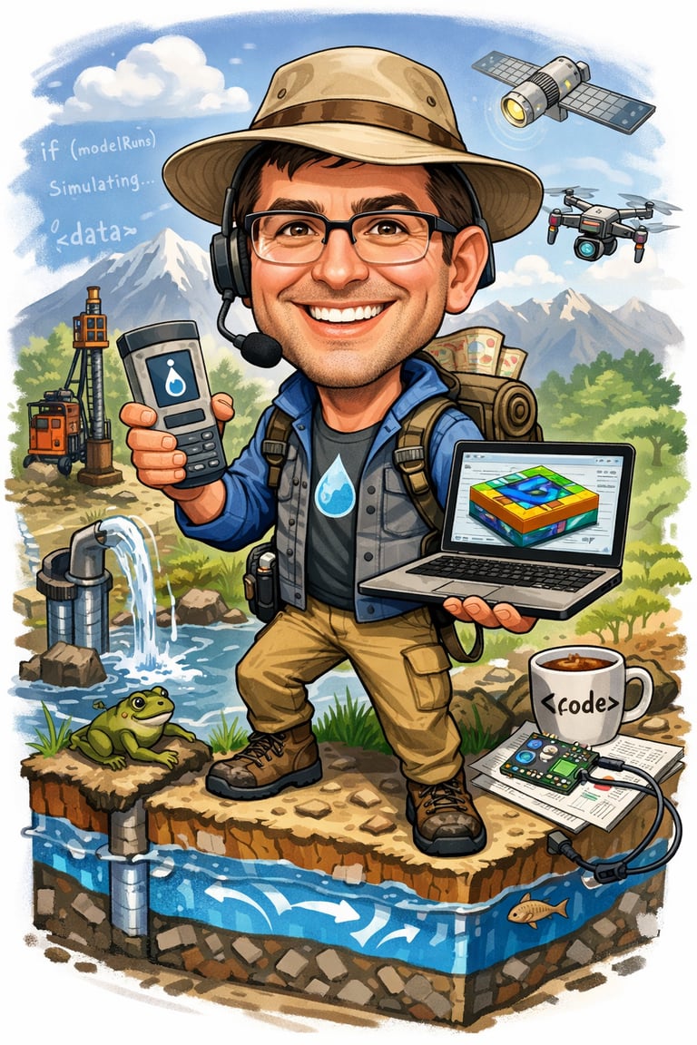
Our Story
We are hydrogeologists specializing in physical hydrogeology, groundwater flow and contaminant transport modeling, site characterization, and technical reporting for complex subsurface environments.
Our experiences span site groundwater monitoring, development of site-specific conceptual models, construction and calibration of numerical groundwater models, and interpretation of hydrogeologic data to support environmental assessment and remediation strategies.
We have led and contributed to projects involving detailed hydrogeologic investigations, aquifer characterization, and risk evaluation, translating field data and monitoring results into defensible technical conclusions. Our work emphasizes strong scientific rigor, regulatory awareness, and clear communication — ensuring that modeling results and technical analyses are both accurate and practical for decision-making.
Our Work
Precision surveys shaping your projects.


Survey Highlights
From detailed lidar scans to subsurface utility mapping, we provide data that helps you build with confidence and clarity.


Client Impact
Our surveys have guided urban planners and engineers, turning complex landscapes into actionable insights for smarter development.
Our Work
Snapshots from recent aerial and subsurface surveys.


